綜合地理資訊系統、遙測與模式應用於永續農業環境之初步探討
- Plan Name
- A Pilot Study on Sustainable Agricultural Environment Integrating GIS、,RS and Models
- 計畫編號
- 85-4-02
- 類別
- 農業環境保育類
- 摘要
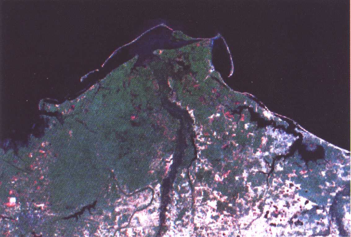
- 桃園大圳灌溉區以貯水池蓄圳水、河水、回歸水與雨水,綜合上述多種水源以行灌溉農田(水稻田為主)。此區貯水池系統實有次級水庫之實,其獨特性,全國無出其右者。然由於逕流流經土地表面以及各式各樣的土地利用方式,自有其背景上的非點源污染。如果非點源污染程度太高,不但是水甚至於土地本身均須改變利用狀況,抑或施行復育。為了了解非點源污染狀況,本研究利用非點源污染推算模式配合遙測與地理資訊系統資料庫與圖資合一功能,可以推估出臨界區域。臨界區域包括逕流洪峰太高,泥沙輸出太多,含氮量太高、含磷量太高與化學需氧量太高。配合地理資訊系統之操作,將全區按l公里xl公里的方格劃分為l平方公里小區共得322小區,臨界區有56平方公里,幸多末多重問題重複出現,泥沙含量問題不大,但高逕流區高達24區。這些高值區均須特別注意,如問題進一步惡化,包括放棄取水抑或放棄耕作並緊急施行復育措施均可採行。由於本年度採用模式法,只能比較出各小區間狀況之差異,至於實際的情形變化則有待逐區進一步進行核驗。
- Abstract
- Pond irrigation network characterizes the unique of TaoYuan Channel irrigated area. The majority of the irrigated water to rice paddies come from ponds, which stored water from river, rain runoff and recycled water. Understanding the background of Non-pointed Sources pollution is of essential importance since various kinds of water source may be contaminated by the environments it pass though. Therefore, AGNPS was applied with techniques of remote sensing and GIS to evaluate the critical zones such as high runoff peak, high sediment yield, high N, high P and high COD. The author utilized GIS to separated the irrigated area into 322 squares each with an area of 1Km by 1Km. The total critical area amounts to 56 square kilometers. The analysis indicated acceptable value for sediment but not for the value of the runoff peak. There are 24 critical zones of runoff peak needed watch and any further deterioration will abandon the agriculture usage and maybe needed restoration. However, results from AGNPS only provide the differences between cells and checking may be required if a reality is searched .
- 計畫主持人
- 梁昇
- Project Director
- Sheng Liang
- 關鍵字
- 永續農業環境、地理資訊系統、遙測
- Keywords
- Sustainable Agricultural Environment、GIS、,RS
- 成果報告