衛星遙測資訊配合全球衛星定位儀與雷射測量技術修建灌溉系統基本圖-觀音與新屋二工作站為例
- Plan Name
- Update the Irrigation System Using Remote Sensing Information Integrating G.PS and Laser Technology-Case Study in Quan-in and Hsin-wu Stations
- 計畫編號
- 88-4-01
- 類別
- 農業環境保育類
- 摘要
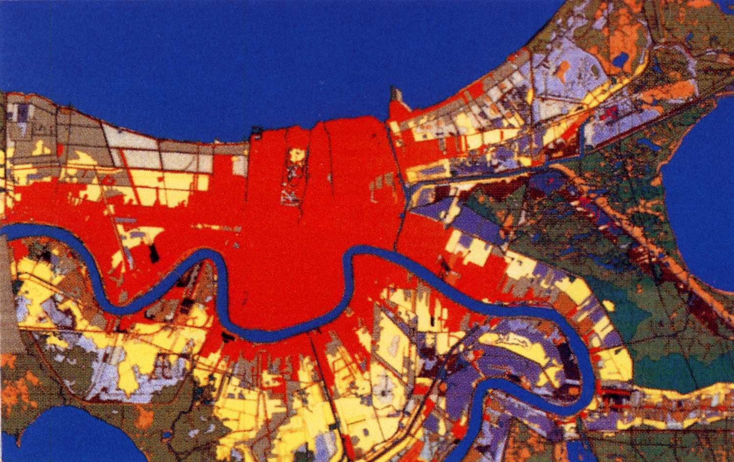
- 本摘要首依計畫五大目標之完成內容予以敘述,按著針對其他工作站比照辦理時可能的困難予以說明,並進一步就提升資料的可參考度及正確性提出對策。最後對本研究完成後,工作站如何落實使用,並隨時修正現實各項資料之可行互動方式予以研討說明。本報告同時印製報告一百五十本附光碟,除完整的二工作站74幅水利小組圖外,另備五千分之一工作站諸水利小組彩色平面圖二份。在詳細建立工作站轄區灌溉系統數化圖與地籍圖加套與整理二項工作,分別由桃園農田水利會桃園大圳灌溉區之觀音與新屋二工作站提供原有各水利小組之「輪流灌溉系統圖」再由本計畫向地政事務所購置區域內各地段之地籍圖,並購入內政部五千分之一及二萬五千分之一數化地形圖,四者合併處理,經數化、轉檔、重疊、修補、比例截併等必要步驟在地理資訊系統中作業後完成初步數化草圖。 接著印製五千分之一比例尺灌溉系統數化地圖,再由工作人員現場核對後,由地理資訊系統整修及彩色化。統一諸水利小組的灌溉系統數化地圖的方位,一律北方朝上,並加比例尺標定、圖例說明與輪單區明細表附註提高地圖的正確性並提升可讀性、方便性與統一編輯之步驟與方法,朝更實用更美觀的方向修正。在進行第三項工作項目時,利用遙測影像大面積與及時的監測功能修補地籍圖上資料時發現,不管spot或landsat衛星並沒有每次飛過台灣上空時均錄攝影像,而且取得較方便的spot衛星影像深受雨天與白雲之困擾,對水稻田面積與貯水池面積變化雖有所反應,但不符精密作業所需,是以擇取樣本提出成果說明。以GPS雷射測量技術現場精密定位加入高程使地籍數化圖具有最新最正確資料工作項目上,本計畫首自內政部八十四年至八十七年「應用全球定位系統實施台閩地區基本控制點測量計畫」所完成的105點一等衛星控制點及621點二等衛星控制點取得原有衛星控制網之成果,再依內政部公布之檢測方法重檢水利處北區水資源局在1998年檢測之水準基準點。依上述控制基準點利用雷射儀加測高程108點,標示於數化圖上,數化圖供進一步利用時使用。同時,座標點提供前述第二項工作時修補數化地形圖。依上述四項工作完成後,本計畫按統一規格列印五千分之一數化彩色地圖裝訂成冊提送給基金會、水利會與工作站分別參考應用。在上述五項工作中,最重要的資訊是地籍圖,可惜地籍圖存有若干缺點如下:(1)、比例尺不一,各圖合併後常有誤差,(2)、地籍圖上可能未登錄地不少,困擾作業甚多,(3)、地籍圖投影座標系統紛亂,併圖不易。衛星未能在國產化以前利用遙測衛星影像為主之監視宜改變方式,現階段最好的方式應是成立空中警察部隊,部隊成員由各工作站派出組成,空中攝影採用遙控直升機。衛星影像判讀列為後援性工具,有必要時才予補充。由於我國水資源資料格式標準草案業已出爐,本計畫已完成圖件建置,只須繼續依屬性資料格式建置資料、相片與工程圖,接著完成後續的連接,即可完成首次符合我國水資源資料格式標準的灌溉小組管理系統的準備動作,邁向規格化水利小組管理系統。衛星遙測、全球衛星定位、雷射測量、灌溉系統基本圖
- Abstract
- This report described how the five objectives, specified in this yearly research project, were performed and accomplished. The difficulties for other stations to be treated in the same way were also noted. However, a further advancement towards "management system" was purposed to testify the validity and benefits of result of this report accomplishments. Remote Sensing and Geographic Information Systems are firstly combined to update the irrigation systems maps ofQuan In and Hsin Wu stations ofTaoyuan Irrigation Association. The gross drafts were prepared and distributed to stations for field correction. The field condition were verified and corrected by officials in the Association and the laser technology were then applied to refine the gross drafts. The final results were shown in two parts, one was the A4 map shown in the CD-Rom copies (150 copies in total) of this research report, the other was the colored paper maps (4 copies for each division) in the scale of 1:5,000,presented at the same time as research report submitted, for the purpose of application usages in field. There were three parts for the control surveying. The first part was the checking of control station network of Interior Affairs Department. The second part was the reexamination of GPS Bench marker network built by Water Conservancy Bureau in 1998. The third part was the altitude values obtained by integrating GPS and Laser technology specified in this research. The gross drafts were distributed to divisions and stations for correction. The refined maps were prepared to meet any correction given or any request specified and served as maps presented in this report as mentioned in the very beginning. Several problems were noted as follows: (1) There were some difficulties to verily non-indentical map information from various sources, (2) The heterogeneity of the scales and the projection principles applied in the map drafts harmed the quality of the refined maps, (3) SPOT images were not available at most critical cases, (4) not all lands were recorded, and (5) the innocent of the official in the procedures of map prepared in GIS made them thus couldn't offer the right cooperation. Remote Sensing、G.PS、Laser Technology
- 計畫主持人
- 梁昇
- Project Director
- Sheng Liang
- 關鍵字
- 衛星遙測、全球衛星定位、雷射測量、灌溉系統基本圖
- Keywords
- Remote Sensing、G.PS、Laser Technology
- 成果報告