桃園農田水利會工作站管理系統~觀音與新屋二工作站應用例及桃園農田水利會灌溉區域之GIS檔建置
- Plan Name
- Station-wide Irrigation Management System for Tao Yuan Irrigation Association ~the Case of Quan In and Hsin Wu Stations and the GIS File Construction
- 計畫編號
- 90-4-02
- 類別
- 農業環境保育類
- 摘要
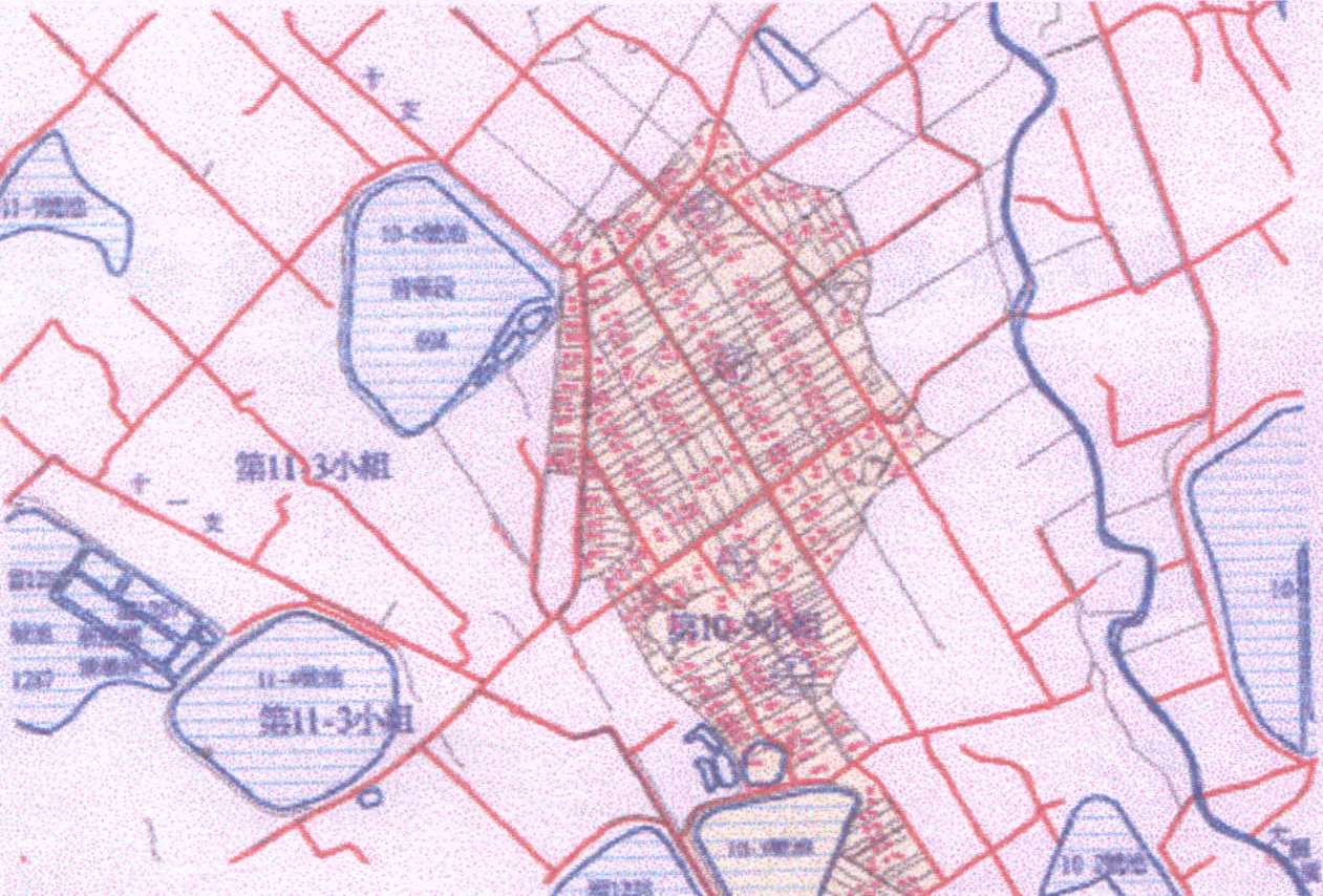
- 本期計畫有三大目標,其一是二萬五千分之一「桃園農田水利會灌溉區地圖」之製作,其二是「桃園農田水利會灌溉區地圖列印方法之技術轉移」操作,其三是「單機版觀音與新屋二工作站水利工作站管理系統」之建置。在期中報告時,本計畫提出第二項大目標ArcView版「灌溉區地圖列印方法之技術轉移」,工作人員之接受度不高。是以本次特修正為AutoCAD版,功能相同並與原工程人員慣用繪圖技術較接近,且與目前最新版的AutoCAD Map2000i網路版GIS相通,更為理想。第一大目標二萬五千分之一「桃園農田水利會灌溉區地圖」之製作十分理想,全圖有140公分x 252公分大小,已於90年11月時另為送達,今將其縮小為十萬分之一附在本報告之參4節,提供參考。第三大目標乃配合上述二大目標之地圖與地圖列印之成果增加資料庫管理系統(DBMS)與GIS之圖層套疊與查詢,完成「觀音與新屋二工作站用管理系統」。此部分列於參章。綜合上述三大目標之達成,未來網路版GIS更可延伸以AutoCAD Map2000i來應用,達成符合桃園農田水利會始自地圖終至管理系統均賴完全一致軟體之目的。
- Abstract
- There are 3 targets in this year research project. Firstly, the Irrigated area map of Taoyuan Irrigation Assoiciation were prepared for the scale of 1:25,000; Secondly, the employees of the Assoiciation were trained for the method printing maps and map layers; Finally, the stationwide management system were constructed.For the second target, the ArcView approach were tried and failed, therefor, AutoCAD approach were submitted to replace ArcView. A 140cm x 252cm map were prepared to meet the first target. AutoCAD 2000i were then selected to relately connect the digited map and database and the stationwide management system was then framed under such a configuration.
- 計畫主持人
- 梁昇
- Project Director
- Sheng Liang
- 成果報告